Continuing the discussion from PLIX Spatial Poetry: Reflections from the Beta-Testing Process 
This morning I wanted to spend a little time on figuring out how I would offer this experience for adult patrons over summer.
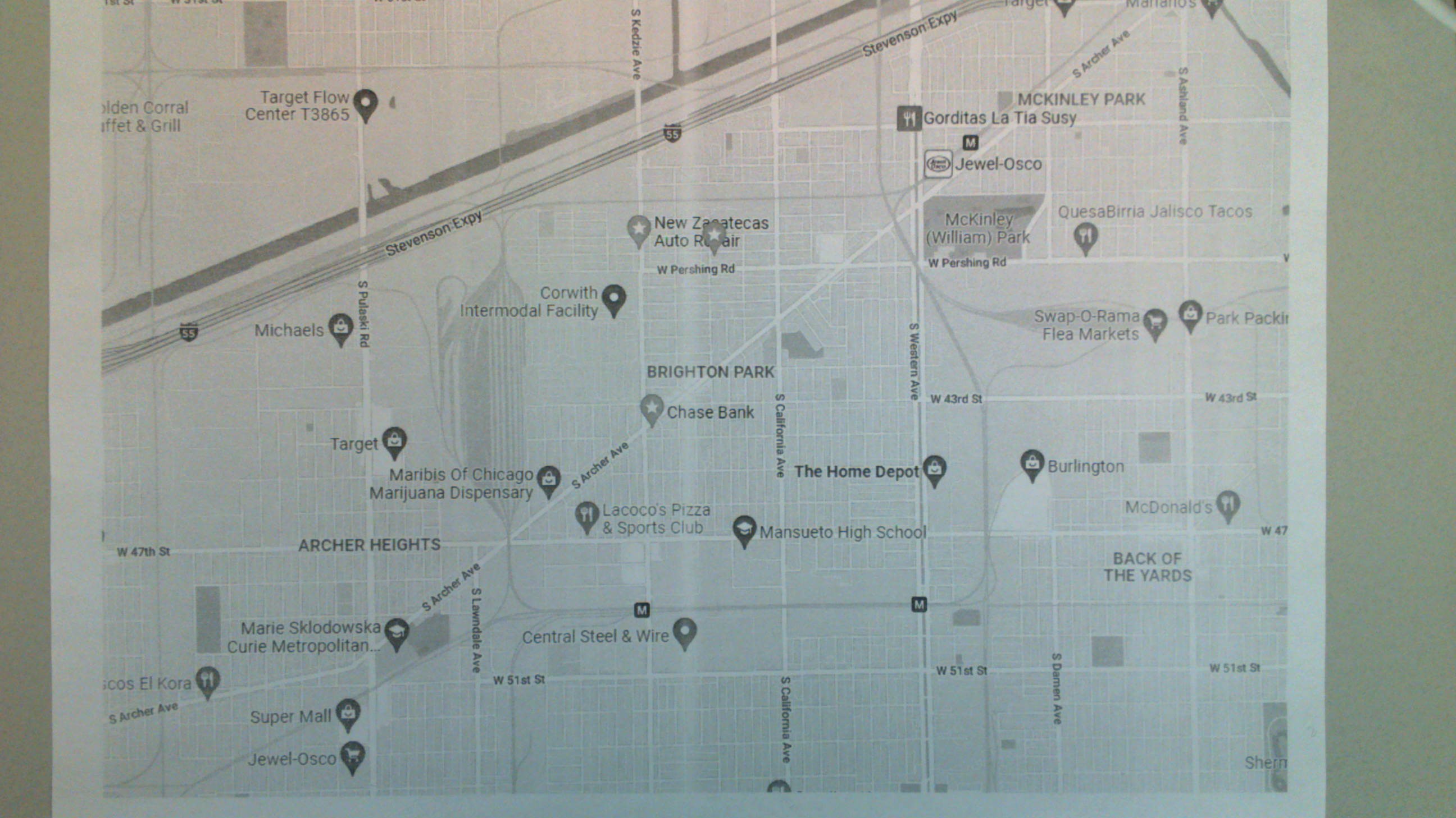
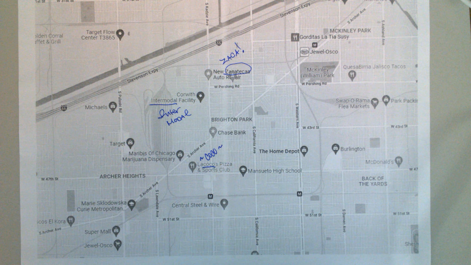
I started out on Google Maps and realized how challenging the maps can be with all the pins highlighting businesses.
I did find it interesting to pull sounds of the businesses, but I didn’t do anything in particular with them. They didn’t feel too important for me at the moment.
I thought about the funny shapes the streets offered up, but that didn’t feel like it meant anything, either.

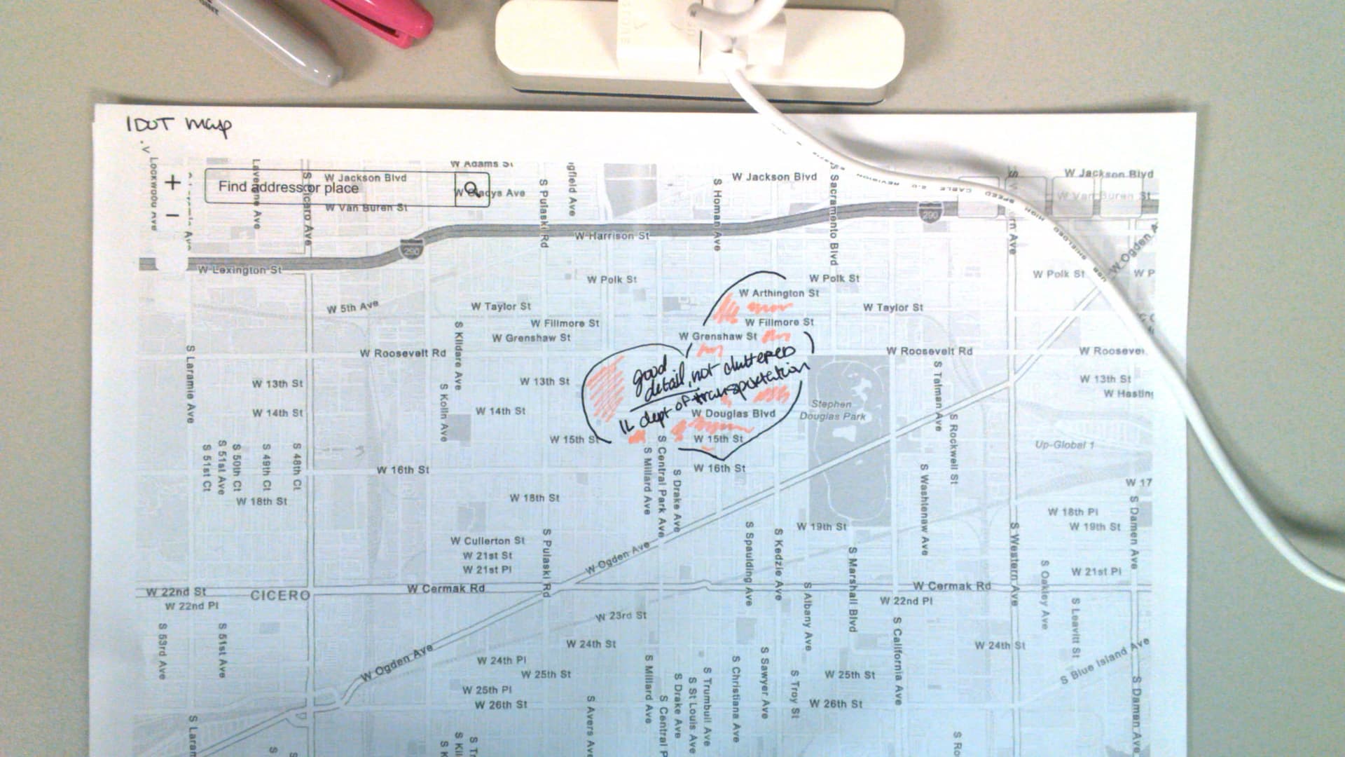
I looked around some more for maps, and found a good source for Chicago through the city’s GIS service.
I had difficulty printing directly from the service, so I had to do a screen shot, copy and paste into Word, and print. You’ll notice it feels more like a blank canvas compared to the Google map.

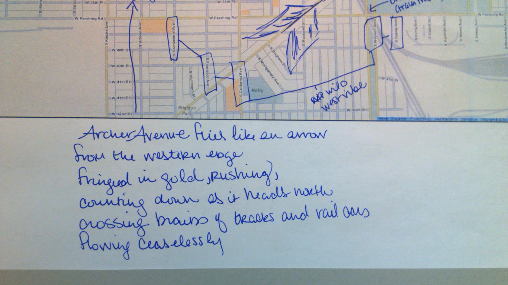
With more space on this map, I took some time to make observations. The main thoroughfares are gold, and the “wild west vibe” is noting the California-themed names, and I don’t know why that is. It’s the western part of the city for the time, so maybe that’s the connection.

The large angled street is Archer Avenue, so I was surprised I hadn’t thought about a giant arrow yet.

I combined some of the elements, the arrow, the feel of westward movement. But it felt really impersonal.
I thought it would be important to ask questions about a location that someone would center for poetry. Questions like, why here, what are your strongest impressions? what have you eaten? what sounds do you hear? The questions yielded some concrete details.

I then wondered about what I don’t know about the area, as well as what have I learned since moving to the area.
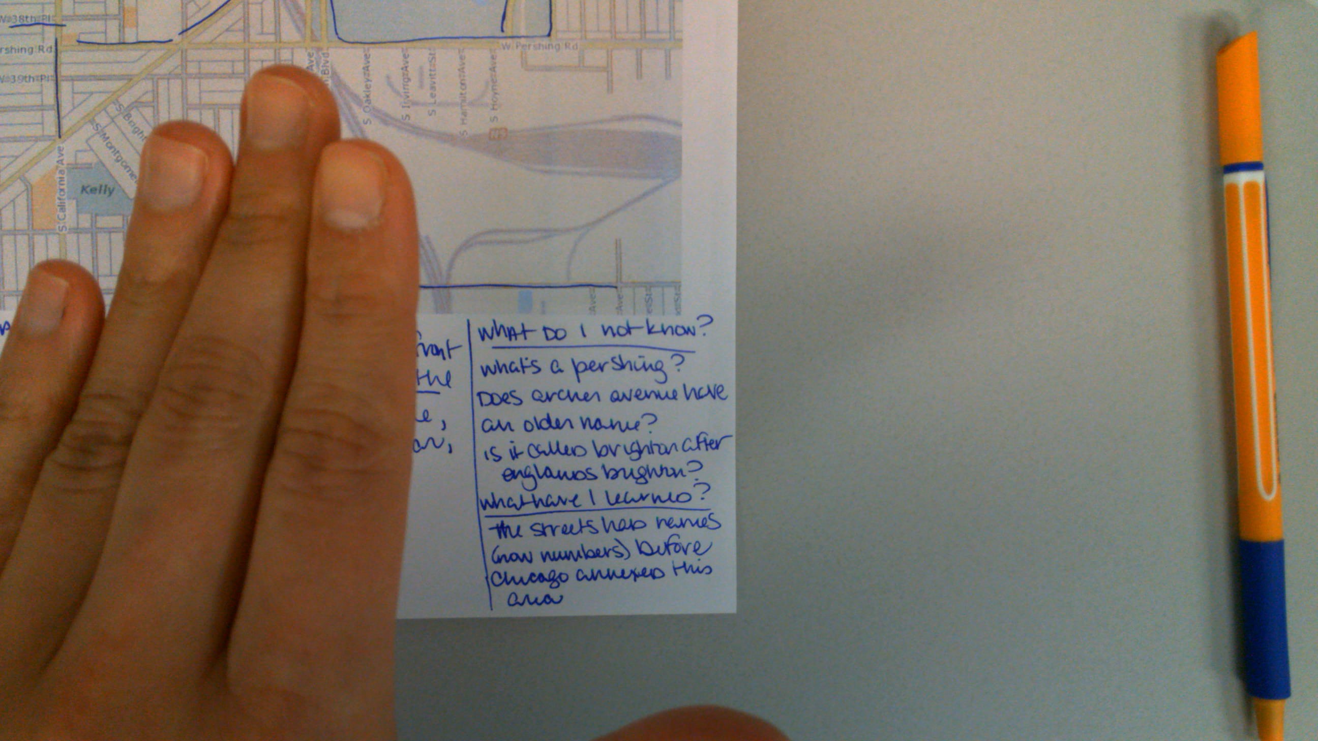
But wouldn’t it be difficult to prepare an area for people who might be from all across the city? Considering that, I think drawing a map (a little like a user journey in some ways) makes more sense because people could omit things they don’t use much (side streets) or emphasize memories. And as they draw and fill in place names, they could then take a moment and decide, What do I not know that I want to know? So, I knew Washtenaw had to be a native place name, but never looked it up. I think from the drawn map, I would then create a new poem, which I have not done, but would do next.

So that’s my cursory practice for working out how I could do this virtually with my audience. More to come!